Max is an FAA-certified pilot who is experienced with complex UAS operations and can secure waivers for operations in restricted airspace when necessary. No job is too big or too small to benefit from drone mapping deliverables!
Deliverables include Digital Terrain Models (TINs), Surfaces (TIFFs), Georeferenced Images, Point Clouds, and many more.
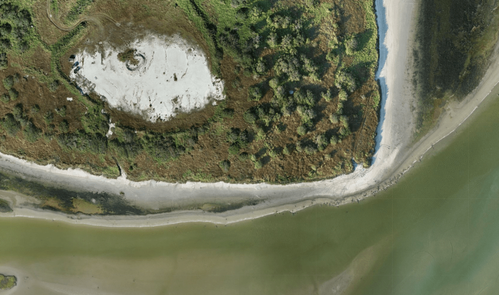
High-Resolution Imagery
Detailed imagery is crucial for designers, engineers, land developers, and stakeholders as it provides detailed visual information that can be used for accurate site analysis, planning, design, and decision-making processes, leading to more informed and effective project outcomes. On average, our imagery is up to 10x the resolution of Google Earth. We can cover up to 400 acres in a single mission.
Airborne LiDAR
I can deploy a drone is capable of carrying a laser scanning (LiDAR) payload that can scan up to 240,000 points per second! Coupled with a survey-grade GPS receiver, we have the ability to collect highly detailed & accurate topographic data over large areas. LiDAR has the unique ability to penetrate vegetation and canopy allowing for accurate surface measurements to be efficiently collected over large areas.
Stockpile / Extraction Pit Volumes
Through photogrammetry or LiDAR, drones are able to accurately calculate the volumes of large and irregular stockpiles and extraction pits. If the material of the stockpile is uniform throughout, the tonnage and monetary values of your stockpile can be calculated and included in a professional report.

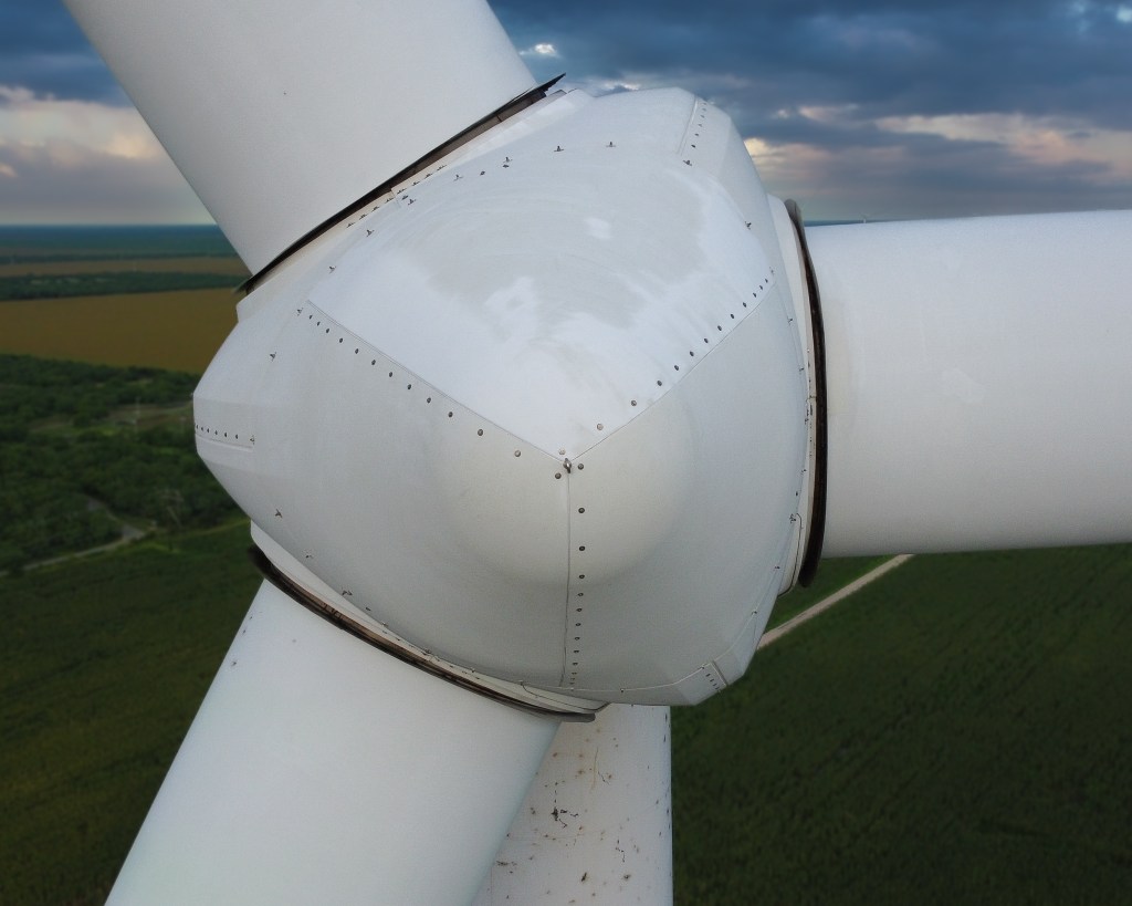
Inspections
Commercial grade drones can quickly inspect structures, such as buildings, bridges, and towers, reducing the time and manpower required compared to traditional methods. Hard-to-reach or hazardous areas can be accessed or inspected with Drones, minimizing the risk to personnel. After a disaster, Max can conduct thorough aerial inspections of affected areas, providing high-resolution imagery that can be used to assess the extent of damage immediately after it occurs.

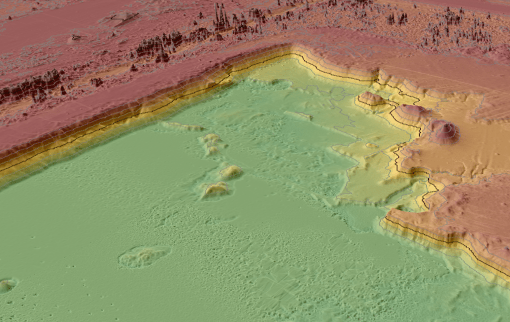
Digital Terrain Models / Surfaces
A digital terrain model (DTM) is a digital representation of the surface of the Earth or terrain features. It provides valuable information about the elevation, slope, and shape of the terrain. Designers can use DTMs to calculate cut and fill volumes, design slopes, and optimize the layout of roads, drainage systems, and other infrastructure.
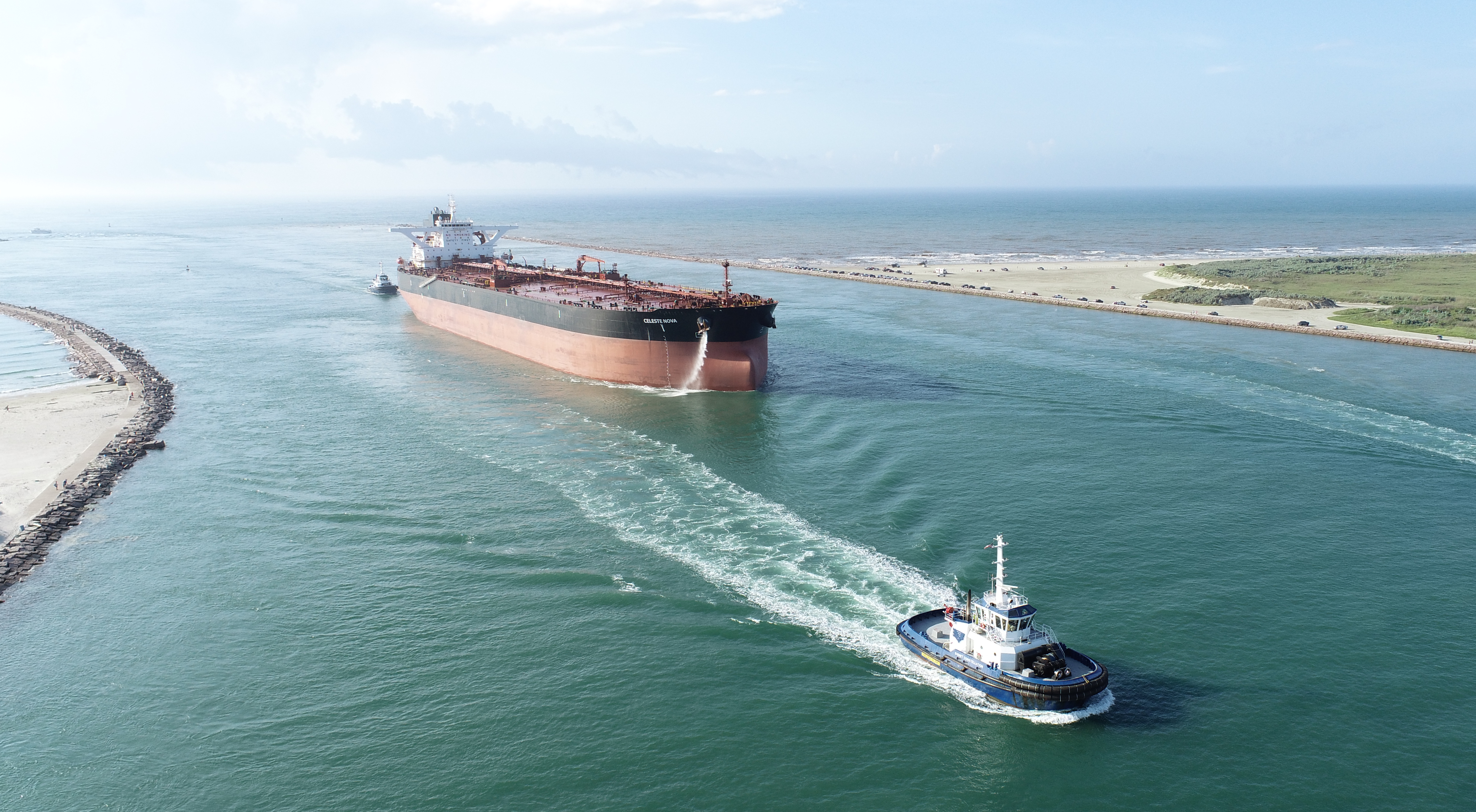
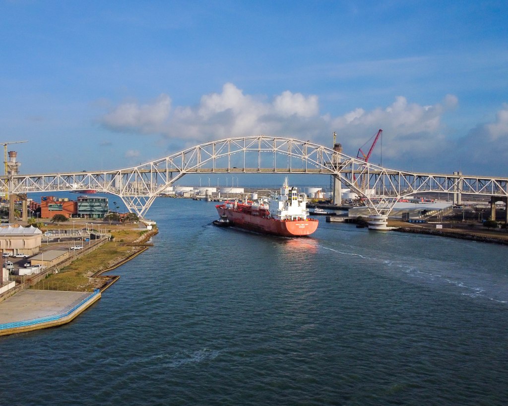
Photography
Drone photography offers a unique aerial perspective that can showcase properties, projects, or products in a way that ground-based photography cannot, providing a more comprehensive view for potential customers or clients. Share your milestones with the world through professionally edited videos and images today!